Skip to content
ENHD
Menu
Home
Services
Our Folio
ENC
ENC Index
ENC Online Digital Catalogue
Paper Charts
INT Charts
Local Charts
Notice To Mariners
Leisure Charts Folio
Chart Registration
MSDI
News
Guiding Maritime Excellence
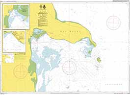
CHART R18
CHART DETAILS
INT Number
Local Number
Name
Scale 1:
Purpose
Published
Current Edition
7133
R18
APPROACHES TO RAS BANAS
55000
Approach
01 Jan. 2019
1
CHART IMAGE
Latest Notice To Mariners
4/2020
VIEW NTMS
DOWNLOAD PDF
Chart Panels
Scroll to Top