Our divisions
Hydrographic Services
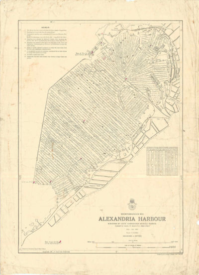
ALEXANDRIA HARBOUR
Surveyed by Lieut. Commander NICOLA I. MIKHAIL
Sep-Nov 1955
Scale 1:10000
The Egyptian Navy Hydrographic Department (ENHD) has been producing nautical charts for the Egyptian naval fleet since 1955. These charts provide 100% coverage of Egypt’s charting area.
In 2004, the first co-operation between the ENHD and the Edwardo Marine Services Co. for the distribution of Nautical Charts worldwide.
In 2015, the ENHD signed an agreement with the International Centre of Electronic Navigation Charts (IC-ENC). According to this agreement, ENHD is responsible for producing, updating and the cancellation of nautical charts released within the Egyptian territorial waters.
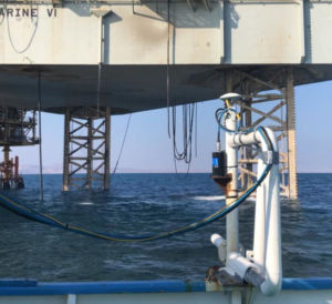
Hydrographic Surveys
Normal Bathymetry using single beam ES acc. ±5cm (depth interval 1-120 m)
Normal Bathymetry using single beam ES (dual freq.) acc. ± 10cm (depth interval 1-200 m)
100% Coverage Bathymetry using shallow water Multibeam ES (single freq.– high resolution) depth interval 7-300 m.
100% Coverage Bathymetry using deep water Multibeam ES (dual freq; SSS mode) depth interval 7-3000 m).
Scouting survey using single beam ES accompanied with side scan sonar (SSS).
Scouting survey using ROV.
Pre & Post dredging survey, volumes calculation.
Datum calculation for tide values determination.
All above mentioned activities are according to international standards S-44 released by the international hydrographic organization (IHO).


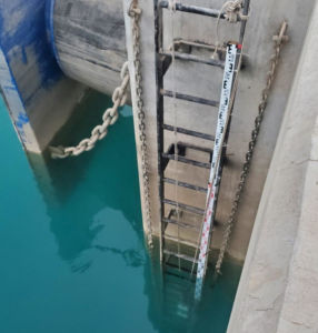
Geodetic Survey
Coastline – leveling – contouring.
Traverse operations.
Benchmarks (different categories).
Datum calculations.
NAV AIDS
Beacons, buoys and transits provision / maintenance.
Ports approach channels design.
Buoy laying.

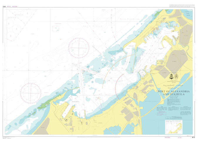
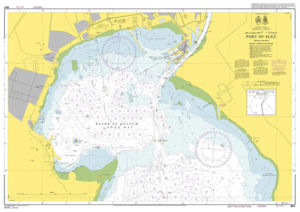
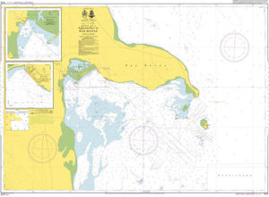
Chart production
- Producing official international paper charts following the international standards of the International Hydrographic Organization (IHO) M4.
On demand paper charts and the necessary international publication.
Electronic Nautical Charts Production according to s-57 to work on ECDIS.
Bathymetric, Contour, and 3-D sheets production